

The Global Biodiversity Framework (GBF) aims to reach global targets by 2030 to safeguard biodiversity. Almost 200 countries have agreed to “halt and reverse” biodiversity loss by 2030, and businesses and finance are increasingly making ‘nature-positive’ commitments.
Operationalising the GBF requires location-specific solutions, which in turn requires high-quality, location-specific data. Unlike the climate, where reducing greenhouse gas emissions is the main, location-agnostic indicator, tracking nature impact requires collecting location-specific data across several variables, such as soil health, water scarcity and biodiversity.
The problem
Global stocks of nature and biodiversity data are currently patchy, out of date, and inaccessible, inhibiting action for nature. There have been major advances to mobilize and make biodiversity data openly available from many sources. For example, the Global Biodiversity Information Facility (GBIF) is digitizing data from environmental impact assessments and making this data accessible and comparable. The likes of UN Biodiversity Lab have developed platforms providing access to spatial intelligence for decision-makers. But nature data is not current, comprehensive, nor accurate enough to track changes over time.
These data limitations make it difficult for local communities, countries and businesses to measure changes in biodiversity and natural capital, or for financial institutions to develop products that shift capital flows towards nature-positive activities.
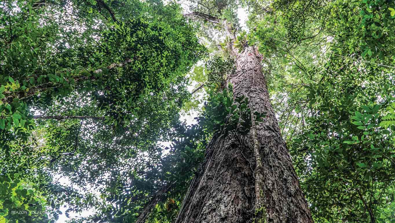
The opportunity
Thankfully, a technological revolution is underway – with advances in satellite and on-site (‘in situ’) data collection rapidly pushing the frontiers of what’s possible to track and measure. Improved satellite technologies can improve the tracking of land-use change (e.g. deforestation). However, on their own, remote sensing cannot baseline or track biodiversity, particularly in complex tropical ecosystems.
This is where in situ data technologies, like low-flying drones, acoustic/imaging sensors, environmental DNA (eDNA) can play a significant role. For example, eDNA sequenced from water or soil samples can detect the presence of species, making it possible to monitor certain aspects of biodiversity at a large scale, and in partnership with local communities in a way that satellite data alone is unable to do. NatureMetrics, a leading provider of eDNA data identified 10,000 individual species from 1,500 samples last year alone. The quality of in situ data is improving rapidly as data acquisition costs come down sharply, which creates tremendous opportunities to track nature in real-time.
If these nature data technologies were deployed widely, and if the resulting data was made publicly accessible, the benefits would be substantial. We could systematically monitor ecosystem health to avoid repeats of the devasting, mysterious death of hundreds of elephants in the Okavango Delta, or Germany’s discovery that it had lost 75% of its flying insect biomass between 1990-2017.
We could support national governments to develop national spatial plans (target 1 of the GBF) and track progress over time. We could support the private sector to develop ‘nature-positive’ products and value chains, and finance to direct capital towards nature-positive outcomes. Perhaps most significantly, better in situ data can be collected by indigenous people and local communities to document IPLC contributions towards nature, and to support them to hold private and public sectors to account for actions that continue to damage nature.
There is precedent for addressing these issues in the climate space – for example, President Macron and Michael Bloomberg have recently announced the “Net Zero Data Public Utility” initiative. Replicating this for nature requires:
1. Data quality standards that ensure high-quality, comparable, open-access, and interoperable data: Robust standards and quality assurance to ensure that data is of high-quality, trusted, publicly accessible, and interoperable with other data types/sources.
2. Incentives to collect and share nature data: Companies and civil society must be encouraged and incentivized to make this high-quality, interoperable, and critically accessible. This is not happening at scale – only a mere 0.3% of all records published in GBIF come from the private sector. Frameworks (such as the Equator principles and TNFD) can complement national policies and regulation to create the necessary incentives for data sharing.
3. Trusted and secure data architecture(s): We need data platforms that can enable a large number of companies and other actors to upload and access large volumes of in situ biodiversity data – the format and structure of which will vary according to differing geographic and sector contexts.
Most of all, a general ethos of ‘radical transparency’ is needed to drive action for nature. All actors – private and public sector, local communities, NGOs, academia – have a key role to play in collecting better, in situ data. The GBF presents a unique opportunity to act on nature. We can’t do it without data.